The Old Christchurch: Poignant Memories of the City Pre-Quake
When one mentions the old days, images of vintage vehicles, people in period fashion and a world where i-devices were non-existent come to mind. It’s hard to believe then that when we talk about the “old” Christchurch, we refer to a place that existed just four years ago.
In case one needs reminding, New Zealand’s second largest city was hit by an earthquake in September 2010. A more destructive aftershock followed in February 2011, which is why the city centre resembles a war zone today. My first visit took place 6 weeks before the latter. It’s not an experience one can replicate or approximate now, sadly, unlike the others that I have chronicled, but it offered a glimpse of what life used to be like.
Related Post: The 5 Top Things to do in Christchurch Today
For years, an invitation from family friends to stay with them in NZ was never taken up, no matter how much they tempted us with anecdotes of quaint shops that would make hipsters gush, water so pure “the WHO wouldn’t pass it for its lack of chlorine” and the endless verdant plains of Canterbury. It wasn’t enough to make the other three in my family keen, while I prioritised other destinations. In late August 2010 however, I started making plans to spend the semester break there.
A week later, the earth shook. I still went ahead with the trip.
Christchurch in January 2011
Effects of the 2010 Canterbury earthquake
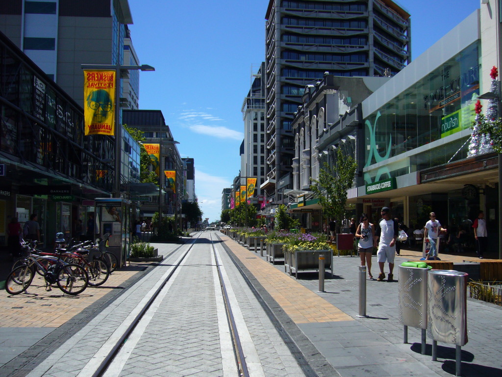
The old Christchurch was far from a sleepy place when I arrived. The city centre was still a hive of activity, even when all the repair work that was going on is taken out of the equation. Locals were still shopping in malls and stores around town, enjoying the customary Christmas and New Year’s break, and youths queued to check out the newest Wendy’s outlet in town.
The damage from Darfield earthquake was evident everywhere I looked, but the mood of the day was one of recovery, not rebuilding. There was a sense that the city would return to some semblance of its former self, no matter how long it took.
It was a slow and frustrating process, however.
Damage assessments and insurance claims couldn’t be settled quickly enough, and the tradesmen that were needed were in short supply. Aftershocks were a daily affair (I felt a few in my sleep) and resulted in new soil liquefaction sites.
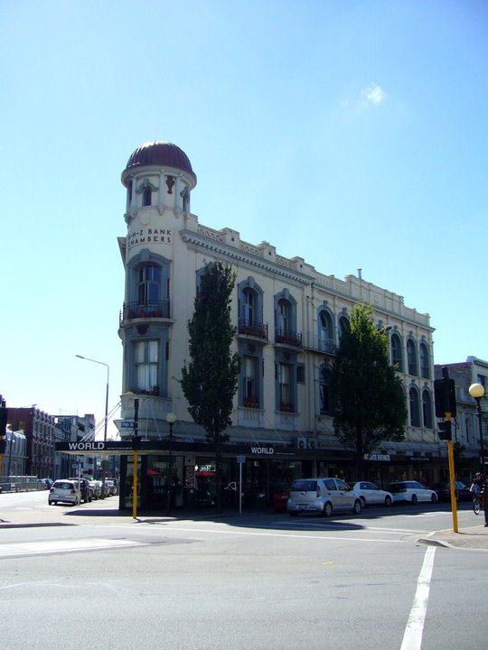
In the months that had passed, some buildings were condemned and they were in the process of demolition. There wasn’t a street without a building or shop that had been barricaded or braced, awaiting the wreckers or restorers. Stores and restaurants that had been in one venue for decades had to find new homes, and we needed to ask around to find out where they had moved.
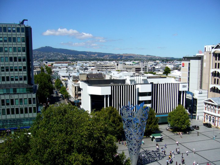
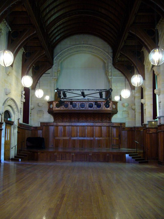
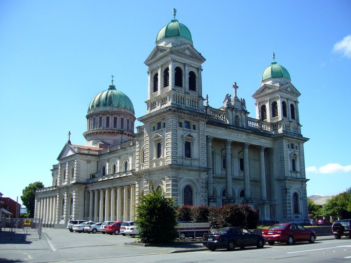
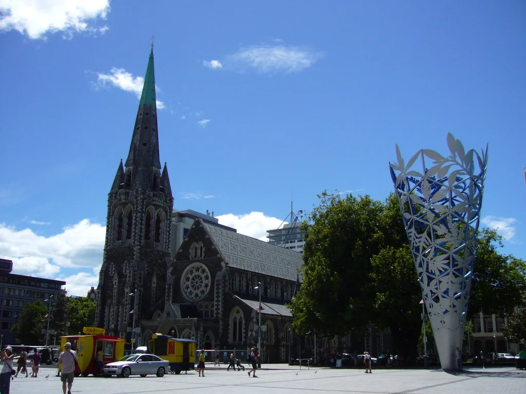
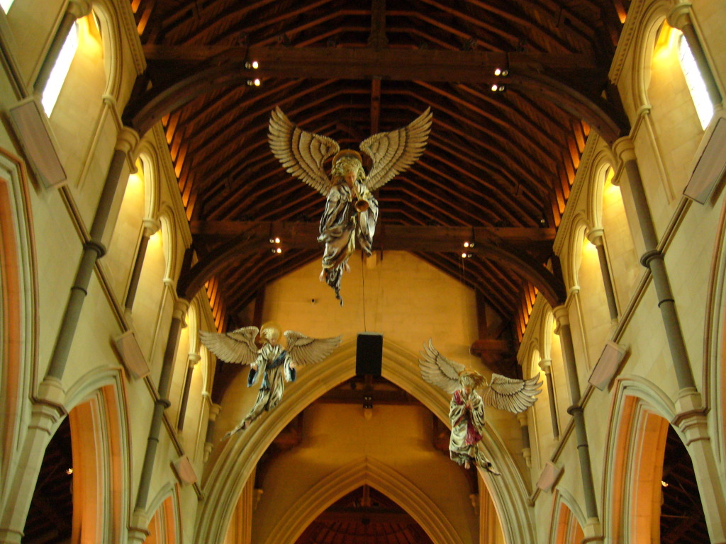
But Christchurch was still very much a working city and it looked and functioned largely the way it had for 160 years. The cathedral remained opened even though it lost its rose window and a few other bits. I could climb the bell tower to view this most English of Kiwi cities and its streets named after places in Britain from above. One could tour the former Canterbury College (now the Arts Centre) where Nobel laureate Ernest Rutherford studied, or view native fauna in the heart of the city as I did.
My photographs from that trip
(If you’re keen, there are augmented reality apps that do a more thorough job of showing how the streets used to look. Some people recently broke into the site of the cathedral and took photographs of the interior)
The optimism in the air was tempered by the discovery of a fault line that ran right under the city and the daily aftershocks. It did not last long either; the shallower, more powerful aftershock in Lyttelton reduced the downtown to rubble.
The Aftermath of 22 February 2011
For 30 months, part of the city centre was off-limits. There was life on New Regent Street (which escaped with very little damage), Victoria Street and around the Cashel Mall, but most of the commercial activity moved out to the surrounding neighbourhoods such as Addington, Riccarton and Sydenham. There has been an exodus of residents to other parts of the country, and they were replaced by tradespeople from other parts of NZ and around the world.
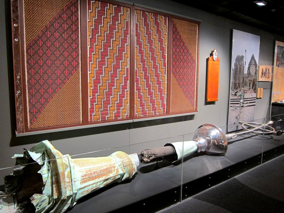
Looking at my photographs from 2011 now became no different from looking at pictures of lost cities in history books, only the subjects were in recent memory. When I returned to the Garden City last year, I couldn’t reconcile the exhibits in Quake City with the things I saw less than three years prior, in their original settings, even though they were the same.
I began to understand the dilemma surrounding moving and isolating exhibits from their original context. We only talked about in art history classes, but now I felt the dissonance. The city still has a lot going for it for tourists, but the old Christchurch was a different place to the one that surrounded me.

